

I did this walk, or all but one leg, with a friend in early June 2024. We walked an average of about 12 miles a day for 7 days from Morwenstow in the north to the Tamar bridge. We didn't have enough time to get right down to the ferry terminal at Cremyll. As is my inexplicable habit, I planned the walk backwards!
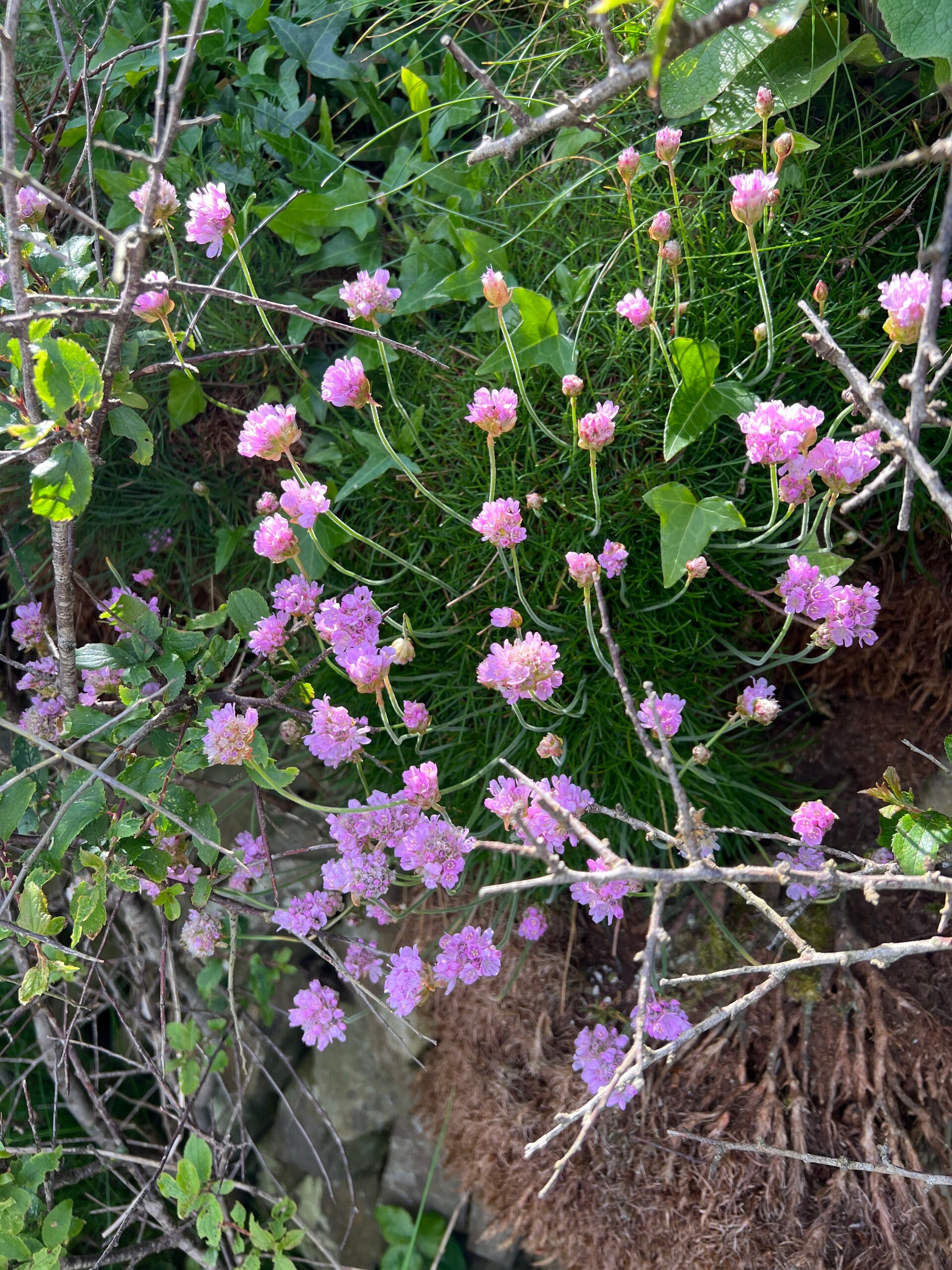
The start at Morwenstow is wonderful! A fascinating, huge, usually unlocked, church with loads of history about shipwrecks and the Rev. Hawker, who, from Hawker's Hut on the coast, acted as a lookout for ships in trouble. The walk started heading north on the South West Coast path, beautiful on a sunny day with spring flowers everywhere. This was some start! Very hilly, including one with (I counted) over 200 steps up! It's almost a relief after an hour or so, to find the sign pointing inland for the Coast to Coast path. This path ran along the hillside, full of flowers, but still had a few steep sections to negotiate through a woodland preserved for nature by a member of the Cadbury's chocolate family. After many ups and downs we met a lane and it was all on quiet lanes now, passing the 'Source of the River Tamar' sign, (couldn't see any water!), until our first nights stop. We stayed in an excellent self catering A frame house at Forda. Nearby, we ate at The New Inn, Kilkhampton or used microwave ready meals.
The second day was partly on lanes, very little traffic but some huge tractors to contend with! The drivers were very understanding, thankfully! One highlight at the start was the Lower Tamar lake where the Willow Tit is a star bird. Declining fast, this species has a stronghold here. The footbridge over the weir at the end of the lake was closed due to rotten beams! What a shame the diversion sign wasn't put up a mile before! So we just used the bridge carefully and survived. This took us through otter and dragonfly habitat to the Bude Aqueduct, an old feeder arm to the former Bude canal. Very natural and nicely shaded, this seems to be carefully managed as a good walking and nature trail. At Moreton Mill we had a first site of a meaningful Tamar river! We finished this day at Marhamchurch where a village shop provided tea and cake!
Day 3 was a bit disappointing, depending on your point of view. It was almost completely on lanes. They were quiet and few vehicles disturbed us. We finished at Bradridge Farm, a B&B close to Boyton. The hostess was wonderful, couldn't do enough for us and specially made us Cornish Pasties for a take away lunch, with home made cakes! The Stumble Inn a short drive away wasn't doing evening meals on a Monday or Tuesday so we had to go further afield and eat in a pub garden (it was very chilly) as indoors was fully booked! Thankfully the Stumble Inn was open the next night!
We did our longest walk next, about 14 miles, to a village called Milton Abbot. Yellowhammers and skylarks kept me alert! Here we rediscovered a flaw in my planning, a reoccurrence of my fellow walker's failing to keep his wits about him! Not liking to carry things in his trouser pockets he drops car keys in any receptacle he finds in a car. But as on last year's Stour Valley Way, he forgot to pick them up! And I failed to check he had. Bang goes another £51 on taxi fares! Our system is to leapfrog cars, at its simplest you place a car at the end of the walk and walk back to the other one! But you need to always carry your keys!
The next day would have been one of the highlights of the walk, including Gunnislake and Morwellham Quay, but the weather was appalling. We abandoned it and instead walked through woodland from our now self-catering accommodation in Calstock to Cotehele, a fascinating National Trust property. Later, still in pouring rain, we opted to ride the Tamar Valley railway line to Plymouth and back giving wet window views of the now huge River Tamar.
After missing that stage the walk demanded a new strategy. We had to cross Lopwell Dam and that can only be done by a stone walkway that's under water at high tide. Checking our tide tables we got up at 5am and drove to Lopwell and crossed it easily soon after low tide. It was a lovely walk but partly through very wet long grass from the rain the day before. The last stretch along the river bank, with a marsh full of reed warblers, was a delight. The only way back to Calstock was by rail via Bere Ferrars and we arrived having just missed a train - leading to a two hour wait! There's no road bridge and the viaduct is rail only. There is talk of a ferry in the summer.
Our final walk day was only about 8 miles from Lopwell to Tamar Bridge where we had a B&B booked. From there we had fabulous views of the bridges on our last night.
In summary, this was a thoroughly enjoyable walk. It was clear that quite a few people have done it, local businesses had noticed a small increase in customers. The Tamar views are limited for much of the walk but it is beautiful countryside. Perhaps, on the negative side, so many lanes to walk may disappoint some, especially in the busier summer months. Facilities are limited so planning for food and drink will be vital. We had 7 days walking (including the abandoned day) and would have needed another one to complete it. The Guide book would be very helpful but it was sold out when we planned the walk. It seems they're back in stock when I write this. https://visittamarvalley.co.uk/product/tamara-coast-to-coast-way-guide-book


Add comment
Comments